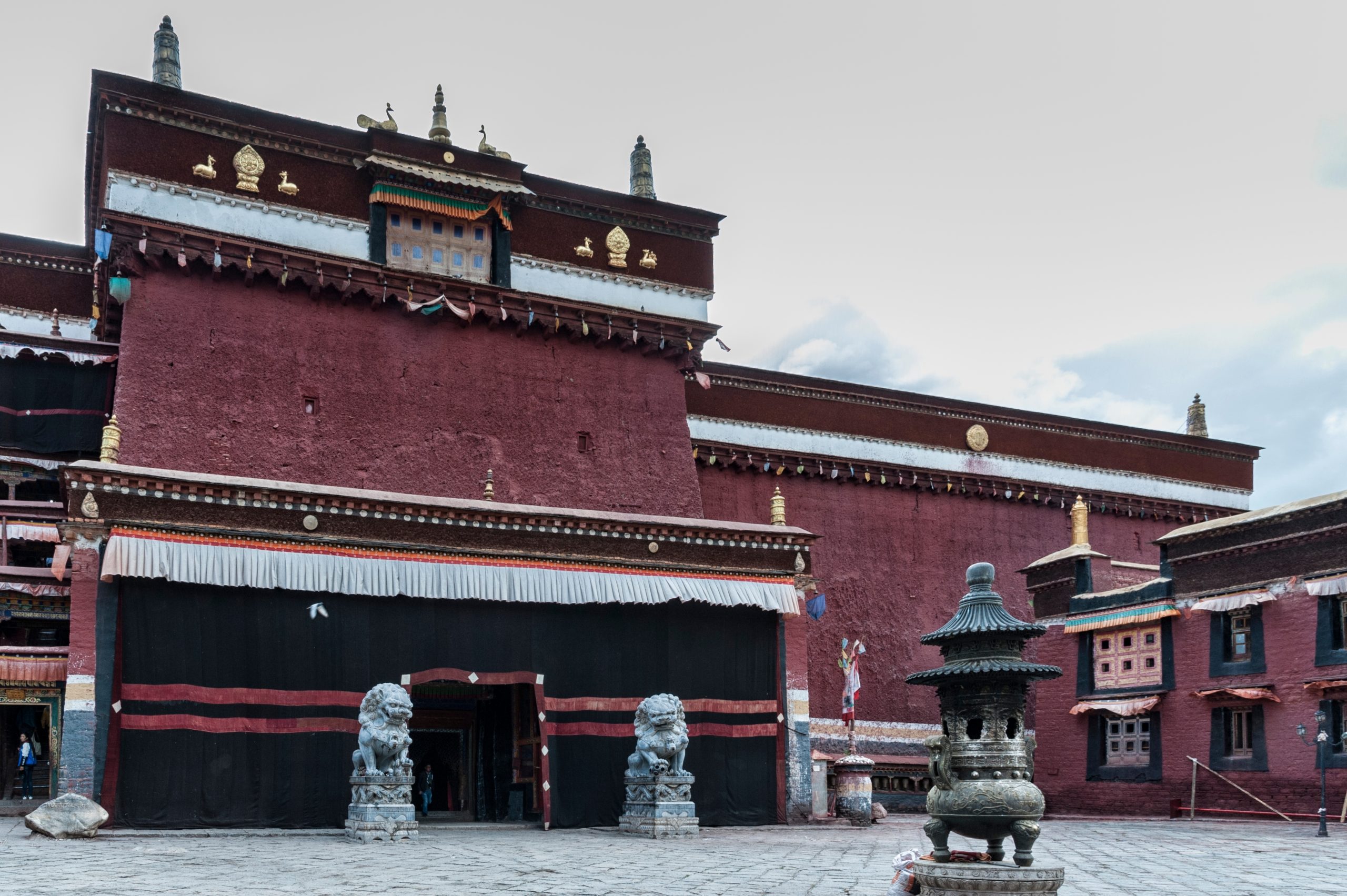
A powerful earthquake in Tibet with a magnitude of 6.8 struck the northern foothills of the Himalayas near the nation’s holiest city on Tuesday morning, leaving at least 126 people dead while more than 150 have been injured, according to Xinhua News Agency.
The quake, which hit at 9:05 a.m. local time, had its epicenter in Tingri County, a rural area often referred to as the northern gateway to Mount Everest. The tremor occurred at a shallow depth of 10 kilometers (6.2 miles), according to the China Earthquake Networks Centre. The U.S. Geological Survey, however, reported the quake’s magnitude as 7.1.
According to Reuters, the earthquake reverberated across Tibet’s Shigatse region, home to 800,000 residents, and was followed by dozens of aftershocks, the strongest measuring 4.4 magnitude. Tingri County, which encompasses three townships and 27 villages with a population of around 6,900, reported severe shaking and widespread damage. Crumbled shop fronts and scattered debris were visible in the town of Lhatse, as shown in verified footage circulating on social media.
In Nepal’s capital, Kathmandu, approximately 400 kilometers (250 miles) from the epicenter, residents fled their homes in panic.
The tremors also reached Thimphu, Bhutan’s capital, and the northern Indian state of Bihar, bordering Nepal. Officials in India reported no immediate damage or casualties.
The southwestern regions of China, along with Nepal and northern India, lie on the active boundary of the Indian and Eurasian tectonic plates, making them highly susceptible to seismic activity. Historical precedents highlight the region’s vulnerability: the devastating 2008 Sichuan earthquake in China claimed nearly 70,000 lives, while Nepal’s 2015 magnitude 7.8 quake killed about 9,000 and injured thousands more.


