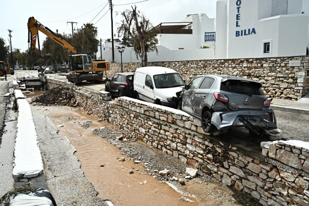
Scientific scrutiny continues to focus on Santorini, the renowned volcanic island in the southern Aegean, and the risks of landslides along its steep and porous cliffsides amid this past month’s “seismic swarm” in the region.
A team of researchers from the University of Athens’ department of geology and geo-environment, headed by Prof. Manolis Vassilakis, on Saturday conducted close range remote-sensing tests and measurements in order to try and pinpoint areas with higher risks for landslides.
The new study is part of a series of initiatives by the university, officially called the National & Kapodistrian University of Athens, through an inter-disciplinary committee to manage risks and crises, which itself was recently established in the wake of the surging seismic activity in the southern Aegean.
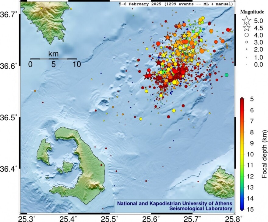
The affected region lies in a maritime zone bordered by the islands Santorini (SW), Amorgos (NE), Ios (NW) and Anafi (SE), has yielded more than 10,000 quakes since late January 2024, including several moderate earthquakes measured above the magnitude of 5 on the Richter scale.
Both ground scanning equipment and UAVs equipped with hi-res cameras and LiDAR sensors are being used.
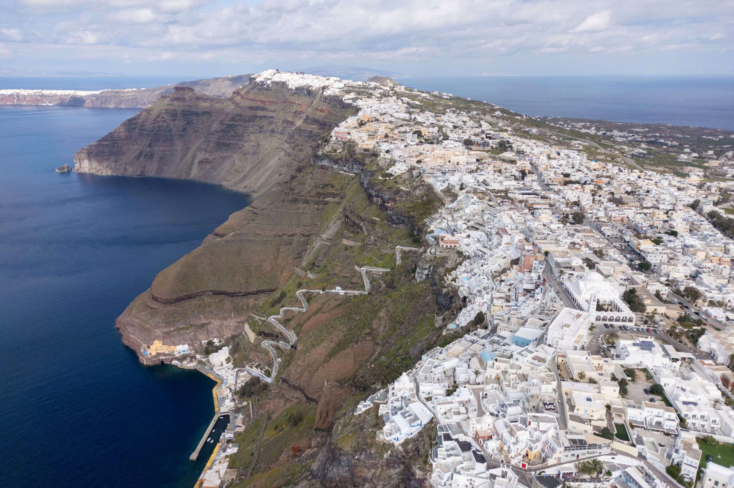
According to Vassilakis, who specializes in remote sensing and tectonic geomorphology, the study focuses on areas of high risk and where there is a strong human presence. Such areas are the quayside of Athinios, the old port, and the seaside sites of Ammoudi and Armeni, as well as the Korfos anchorage on the nearby small isle of Thirasia, which lies across (west) from arc-shaped Santorini proper in the iconic Caldera. The Thera volcano, now a small islet, lies between Santorini and Thirasia.