tovima.com - Breaking News, Analysis and Opinion from To Vima’s International Edition

Latest News
-
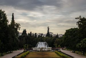
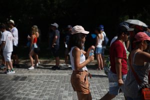
Mostly Sunny Weather Across Greece This Monday
-
Putin Wanted AI Supremacy. Now Russia Is Struggling to Stay in the Race.
-
Christmas Favourites Return to Park Your Cinema at SNFCC
-
Police Detain Person of Interest in Deadly Brown University Shooting
-
Shut Out of Everyday Life
-
Zelenskyy Signals Willingness to Drop NATO Bid Ahead of Berlin Ceasefire Talks
-
Hamas Warns Israel Strike on Senior Commander Risks Gaza Ceasefire
-
Farm Subsidy Scandal: 16 Arrested, Face Serious Felony Charges
-
Greece Prepares for Nationwide Strike on Tuesday, December 16
-
With US-EU Divorce Virtually Finalized and Europe Sidelined, Greece Seeks Strategy to Resolve Disputes with Turkey
-
Brown University Shooting Leaves 2 Dead, 9 Injured
-
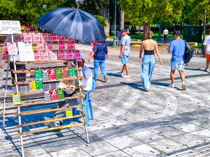
Athens Welcomes First Sunday of Holiday Shopping
-
Eleven Dead and Multiple Injured in Shooting at Sydney’s Bondi Beach
-
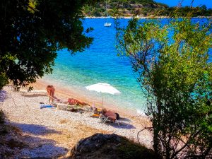
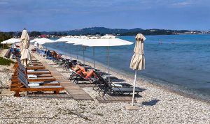
Mild Temperatures, Sunshine and Isolated Showers Across Greece on Sunday
-
In Greece, a German-Language Weekly Endures Through Crisis and Change
-
How to Take Care of Yourself When You Can’t Take Care of Yourself