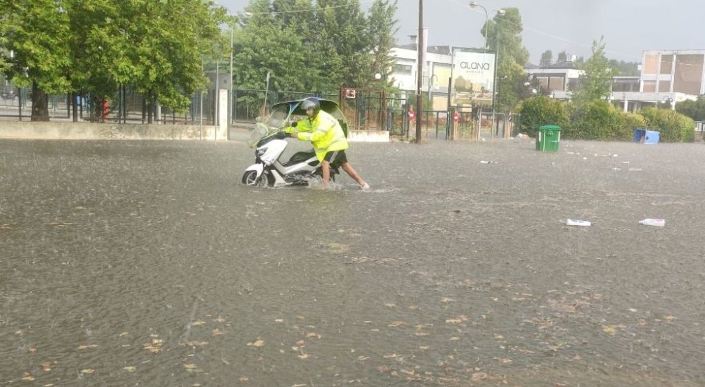
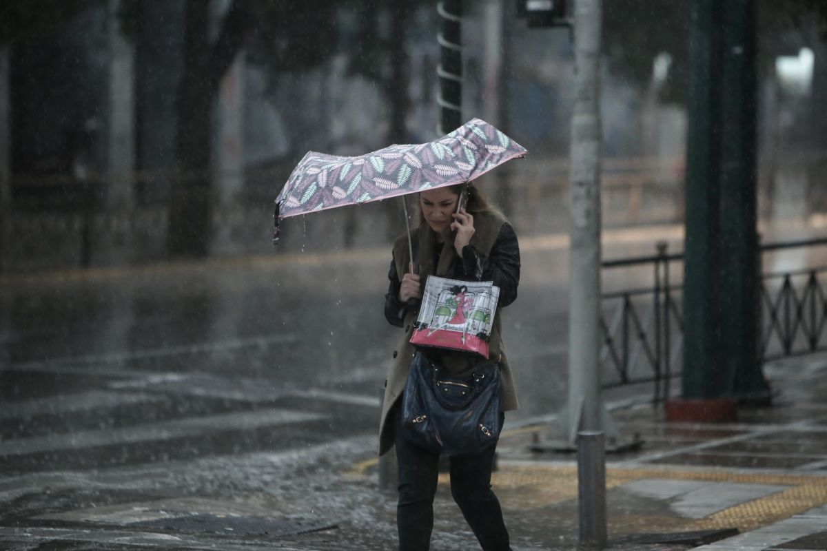
From Thursday, the weather in Greece will change from the warm summery atmosphere of the past week to cold weather accompanied by storms in many regions of the country.
The change in weather, according to IN.gr, is due to what is called the “lake effect”, as air blows over the Black Sea north east of Greece.
The weather phenomena are expected to be particularly strong and have been characterized by a meteorologist at MEGA TV as “100 hours of instability”.
The Hellenic Meteorological service says that on Thursday the weather will start off pleasant and clear.
Clouds, scattered showers and thunderstorms will gradually begin to form from the midday and afternoon hours when isolated thunderstorms may occur, particularly in mountainous areas of the mainland.
Winds will flow from the north northwest at 3-5 Beaufort, reaching up to 6 Beaufort locally in the eastern Aegean.
The temperature on the mainland will drop slightly to 31-33 degrees Celsius, with the Ioanian, the Dodecanese and Crete reaching up to 34 degrees.
In the rest of the island regions, temperatures will range between 28 and 30 degrees Celsius.
The weather in Athens will start off sunny and clear until clouds roll in and local rains and storms commence after midday. Winds will be 3-4 Beaufort with temperatures between 22 to 33 degrees Celsius.
Thessaloniki will follow suit with winds 3 Beaufort and temperatures between 21-31 degrees Celsius.
Always come prepared with To Vima English Edition’s Weather in Greece.