
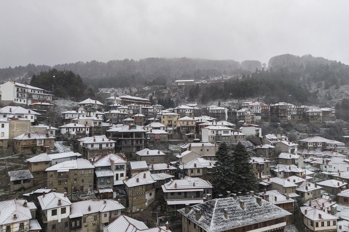
A sudden cold snap blanketed several regions of Greece in snow, on Wednesday, March 19, disrupting the early spring weather with a sharp drop in temperatures.
Snowfall has been recorded on the mountains of Parnassos, Parnitha, and Kithaironas, as well as in the mountainous areas of Larissa, Neochori, and Arnaia in Halkidiki, Kastoria, Metsovo, Vovousa, and Seli in Imathia, among others.
Cold Temperatures and Strong Winds
Wednesday, is particularly chilly, with temperatures in Attica ranging from 2°C in the morning to a high of 12°C. Besides the cold and rainfall, strong gale-force winds of up to 9 Beaufort are sweeping across the seas, leading to a ban on sailings from the ports of Piraeus, Rafina, and Lavrio. Only closed-type vessels are operating routes to the Saronic Gulf islands.
Authorities have also closed the road leading to Parnitha since the night of Tuesday, March 18, due to heavy snowfall. The wintry conditions are expected to persist through the day, but meteorologists predict temperatures will start rising again from Thursday.
Severe Weather Warning in Effect
The Hellenic National Meteorological Service (EMY) has issued an emergency weather bulletin, highlighting the sharp temperature drop, heavy rain, thunderstorms, and snowfall in mountainous and semi-mountainous areas. Some lower-altitude regions in eastern mainland Greece are also experiencing snowfall.
Powerful northeasterly winds of 8 to 9 Beaufort will continue to lash the Aegean and eastern mainland until Wednesday night.
Meteorologists forecast a chilly but sunny Thursday, with spring-like conditions returning by Friday.
The cold snap is not expected to last long with weather gradually improving in the coming days, bringing sunnier conditions and a steady rise in temperatures, during the weekend.