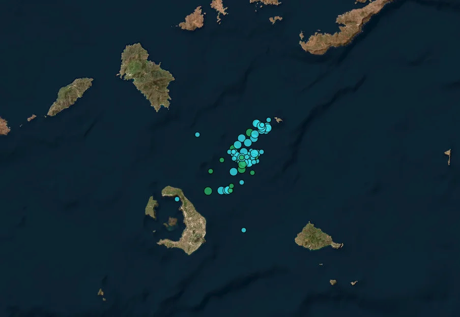

A series of light earthquakes were recorded in a sea region of the southern Aegean on Saturday morning and mostly felt on the islands of Amorgos and Santorini. The latter, an internationally known holiday destination, has also made headlines of late because of a detection of volcanic activity.
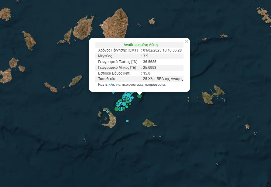
The most potent earthquake recorded on Saturday – at 3.9 on the Richter scale – in the wider region came at 12.16 (10.16 GMT), with an epicenter 25 kilometers north-northwest of the island of Anafi, and with a depth of 15 kilometers.
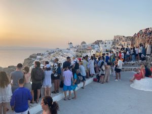
Santorini, also known as Thera, was the site of a massive volcanic eruption in roughly 1600 BC, which scientists believe devastated the Minoan civilization on the nearby large island of Crete and caused the creation of the Santorini’s iconic Caldera.
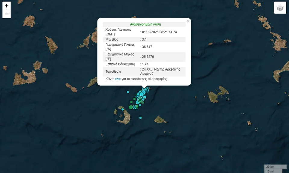
The most potent tremor was recorded at 3.1 on the Richter scale – and pinpointed 24 kilometers to the southwest of Amorgos and at a depth of 13.1 kilometers.
A second followed, registering 2.5 on the Richter scale, with an epicenter 26 kilometers northeast of Oia, the well-known cliff-side settlement in the north of Santorini. A third quake in roughly the same area followed, at 2.5R.
A total of 25 quakes were recorded in a span of six and a half hours, attributed to “mild volcanic activity.”