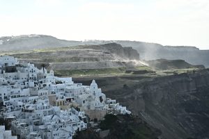
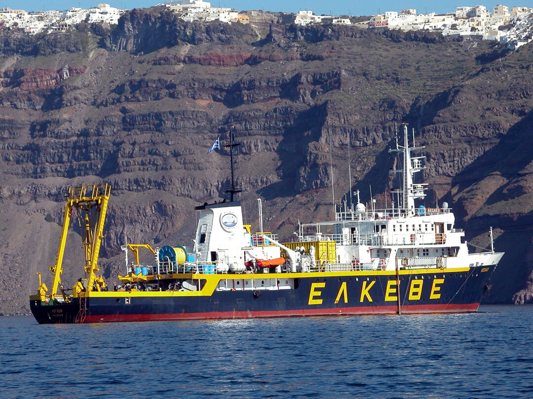
The Greek oceanographic vessel AIGAIO, operated by the Hellenic Centre for Marine Research has arrived to the Santorini-Amorgos region to investigate ongoing seismic activity, according to Greek news site NeaKriti.
A team of scientists, led by geologist Dimitris Sakellariou, is conducting extensive research using state-of-the-art equipment to analyze the causes of recent earthquakes that have unsettled the Cyclades in recent weeks.
The mission focuses on collecting geological, geophysical, geochemical, and oceanographic data to better understand the seismic dynamics of the region. Researchers will map the seabed to identify active underwater faults, potential landslides, and slope stability. High-resolution seismic imaging will analyze fault systems activated by recent tremors, while deep seismic profiling will examine fault structures extending over a kilometer beneath the seabed.
In addition to seismic studies, oceanographic measurements will assess temperature, turbidity, and salinity changes in the water column, as well as detect concentrations of radioactive elements like radon—indicators of fluid or gas emissions from underwater fractures.
This expedition is part of the Athena vs. Enceladus project, funded by the Hellenic Foundation for Research and Innovation. The research aims to map active submarine faults in the South Aegean and assess their seismic potential, contributing to improved earthquake preparedness and risk assessment in the region.
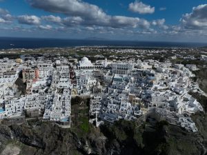
Two earthquakes of 4.2 magnitude struck between Santorini and Amorgos in the early hours of Thursday morning, occurring one shortly after the other- a significant phenomenon known as a double earthquake or ‘doublet earthquake’.
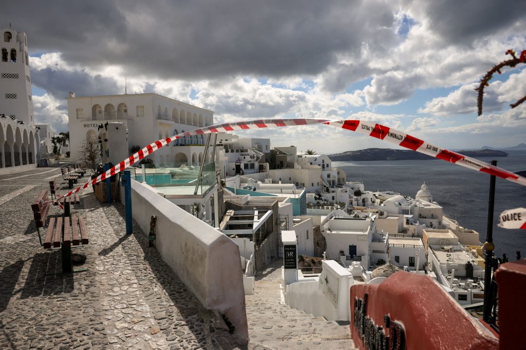
On Wednesday Greece’s General Secretariat for Civil Protection declared a state of emergency for the island of Amorgos as earthquakes continue to rattle the area.Last week, authorities also declared a state of emergency for the Municipality of Thira on Santorini due to ongoing earthquake activity.