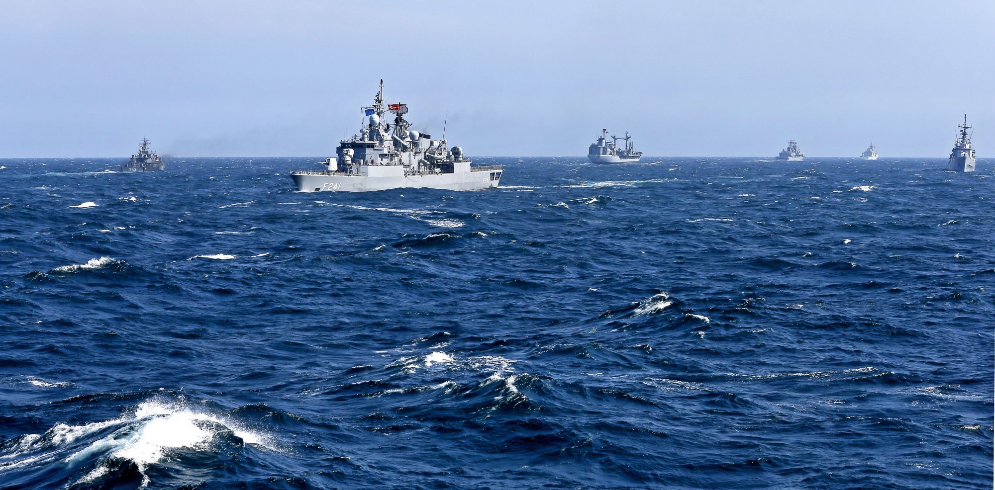
After a relatively short period of tranquillity in relations between Greece and Turkey, tensions are ramping up as the latter has issued a Navtex for underwater cable-laying vessel operations for a geographical area south of the Greek island of Rhodes in the Dodecanese, and east of Crete.
The directive issued by the Turkish state concerns a sea area which is included in the illegal Turkey-Libya memorandum and Turkey’s new doctrine of the “Blue Homeland.”
The move effectively claims that the work area is part of the Turkish continental shelf while disputing Greek sovereignty over its island shores.
Turkey had unilaterally and arbitrarily declared this area to the UN as a Turkish Exclusive Economic Zone (EEZ).
This region overlaps with the Greek continental shelf, and the relevant Greek authorities, through the Heraklion station, issued a Greek Navtex late last night, providing the ship’s research coordinates and clarifying that it pertains to the Greek continental shelf.
Turkey-Greece relations have oscillated between lukewarm and cold. However, a constant between the two nations has been Turkey’s routine and steady disputation of Greece’s exclusive economic zone rights in Greek islands in the Aegean Sea.
Previously, Turkey had issued a Navtex in May taking off three maritime regions in the central and eastern Aegean for “search and rescue exercises (SAR)”, with coordinates showing locations just beyond six nautical miles of several Greek isles but dozens of miles from the nearest Turkish coast in the case of the largest region.
The “Blue Homeland” (or Mavi Vatan in Turkish) doctrine was initially presented in 2018 by then-Turkish Defense Minister Hulusi Akar on Turkish Television showing a map purportedly encompassing all areas of Turkish interest which included many Greek islands in the Aegean Sea covering 462,000 square kilometers. Until then it was largely considered by diplomatic circles as a study used in the Turkish Navy, but has since been adopted as official Turkish policy.


