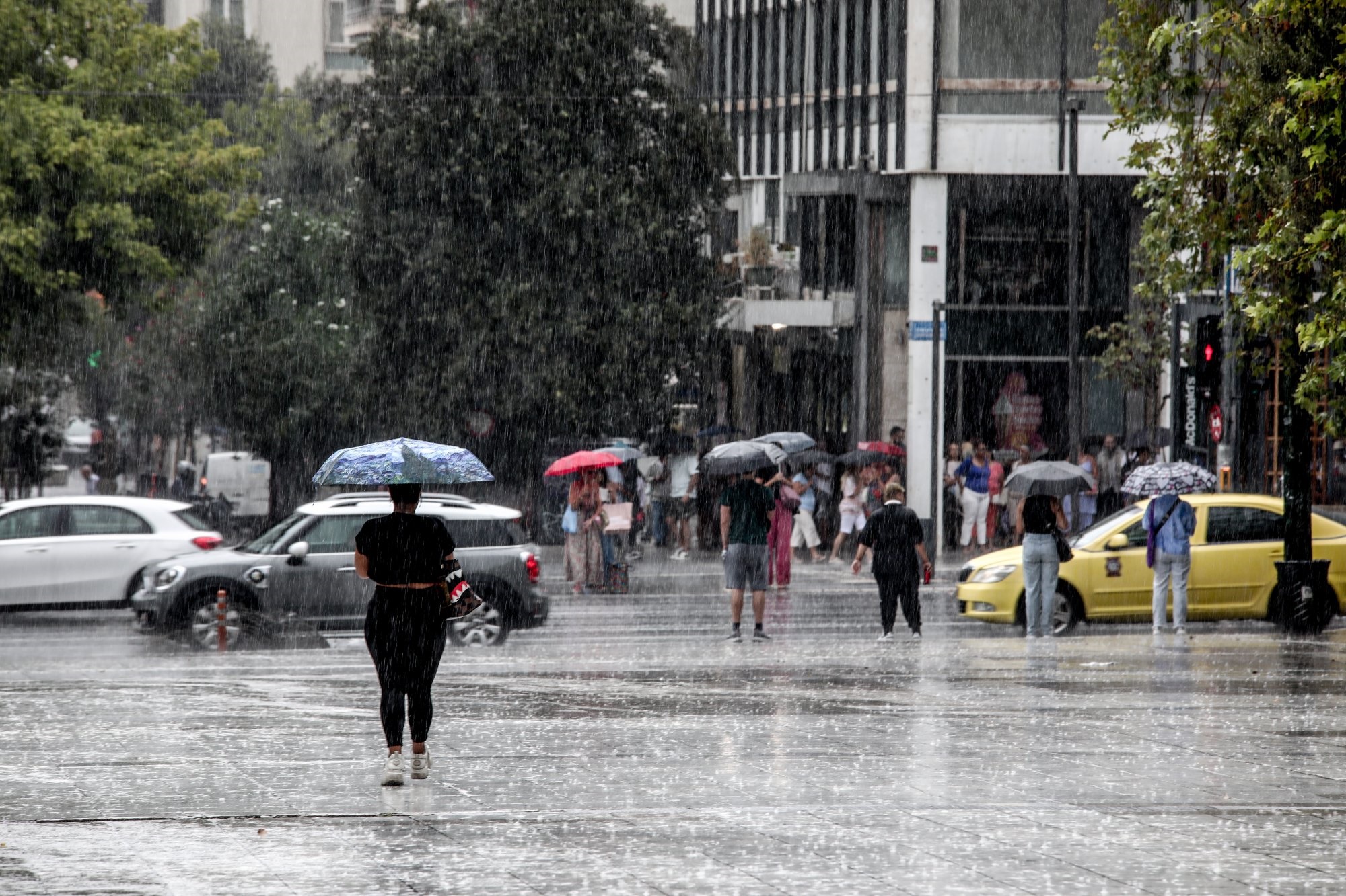
The greater Athens-Piraeus area and much of the surrounding regions in Attica prefecture was inundated on Friday with much-needed late summer showers from a strong storm front, after several weeks of nary a drop of rainfall in practically half the country.
The “flip side” of the storm front, however, was minor flash flooding and intense hail in parts of west Athens due to the intensity of rainfall, combined with lighting strikes.
Elsewhere in the country, strong thunderstorms pounded central northern Greece, especially the Halkidiki prefecture, along with the eastern Macedonia province, central mainland and northwest Greece, and some islands, including large Evia Island.
Flooding was reported in the coastal Evia town of Aliveri, with the central and southern parts of the islands also receiving heavy rainfall.
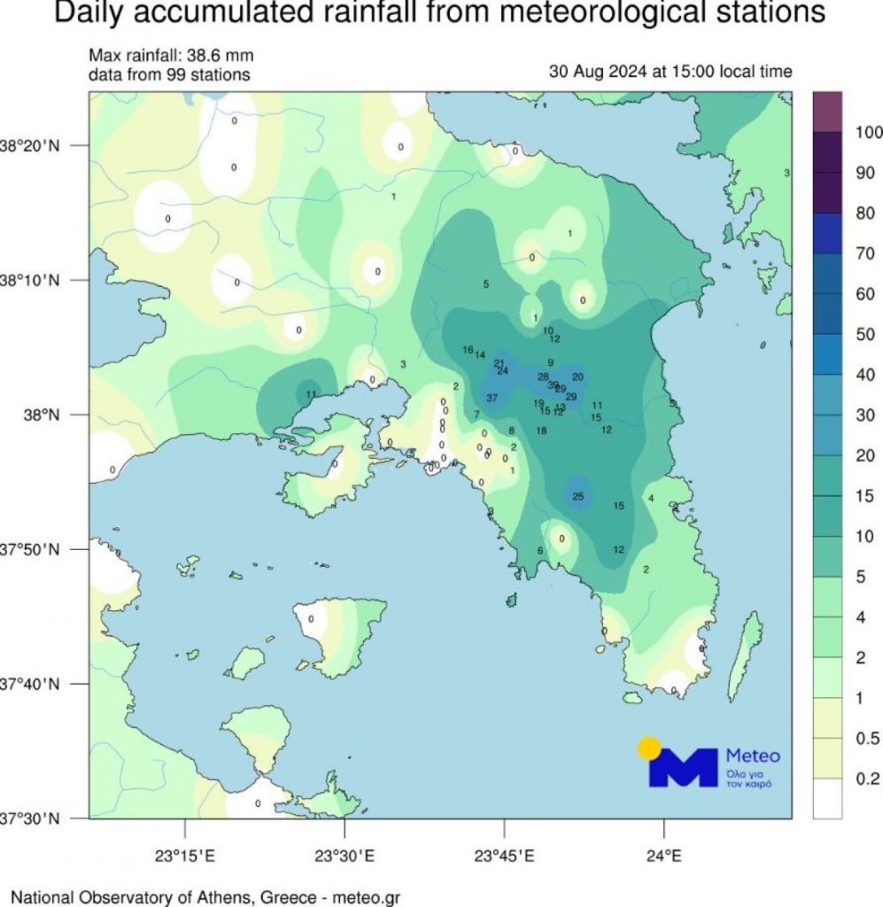
The storm front that poured significant rainfall on much of mainland Greece was accompanied by more than 19,000 instances of recorded lightning, according to the country’s weather bureau (EMY).
With much of the east Mediterranean country still at risk from summer wildfires and with the specter of water scarcity arising in some regions, the heavy rains were beneficial, on one hand. However, the almost tropical-like intensity for a short period of time brought back images of last September’s record-breaking rainfall in central Greece, which caused widespread flooding in Greece’s Thessaly plain, the country’s “bread basket”.
The threat of flooding in areas below [parts of mountainous and high-ground northeast Athens devastated by a wildfire-front this month was also a major concern.
Another strong storm front, replete with rain and thunderstorms, is also forecast for much of the mainland on Saturday, punctuated again by lighting and hail. At times, squall-like conditions are possible.